Geotagging photos has never been easier
Add location data to photos, organize by place, and share with your team.
Get started for free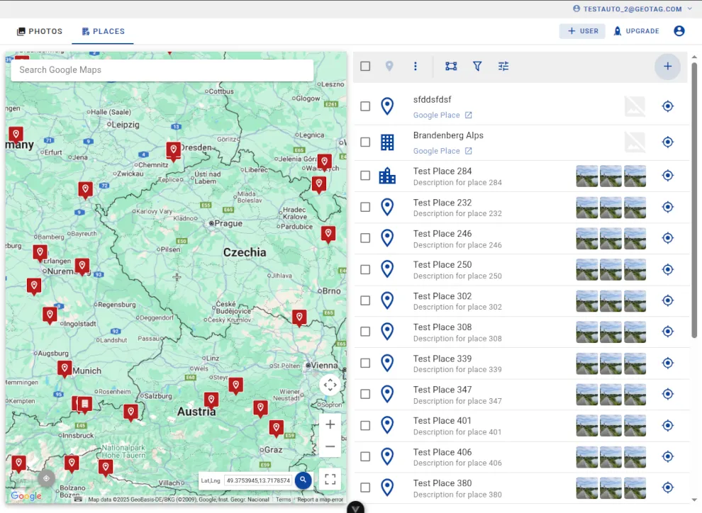
The geotagging platform for all your needs
Explore the suite of tools designed to streamline your workflow, enhance productivity, and drive growth. Each product is crafted with precision to meet your needs and exceed your expectations.


Assign photos to Google Places
Link your photos directly to Google Places listings. Create custom place assignments and organize your location-based content for better local SEO performance.

Team support with permissions
Manage team access with granular permission controls. Assign roles, control data access, and collaborate securely with your team members.

Upload to Google Business Profile
Upload geotagged photos directly to Google Business Profile. Enhance your local presence with location-verified images that boost visibility and credibility.

Advanced search & filtering
Find photos and places quickly with powerful search filters. Search by keywords, location, date, and time to organize your geotagged content efficiently.
Geotag.com has revolutionized how we organize our location-based content!

Photo Stamping
Stamp GPS coordinates, date, time, and custom descriptions directly onto your photos. Make location data visible and searchable while maintaining image quality and professional presentation.

Batch Processing
Edit in batch mode: edit, geotag, write EXIF, convert, stamp, and download many photos at once. Process hundreds of images simultaneously with consistent settings and professional results.

Effective Team Collaboration
Enhance team communication and collaboration with our seamless tools. Keep everyone on the same page and ensure efficient project execution through real-time messaging, shared document editing, and task comments.

Robust Data Security
Protect your data with our robust security features. We prioritize your privacy and security to ensure that your information is always safe. With end-to-end encryption, role-based access control, and regular security audits.
Ready to Get Started?
Start organizing your location-based media today and discover the difference our platform can make for your workflow.